Wallberg Until 1945
Wallberg Until 1945
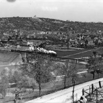
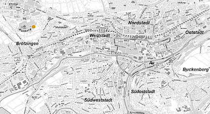
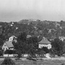
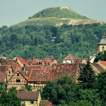
The elevation above the centre of Brötzingen is the Wallberg. The mountain’s natural height was 378 metres. From the 15th to the 19th century, wine-growing was practised on the southern slope of the mountain. Documents from 1450 report extensive vineyards on the Wallberg belonging to the Lords of Rüppur. Poor harvests and competition from better wine-growing areas eventually brought wine-growing to a standstill. Fruit and berries were then planted in the former vineyards.
Shell limestone was mined in several quarries on the Wallberg until 1933. A large Wehrmacht bunker was built on the southern slope of a disused quarry in 1938. It was blown up in 1945. The mountain was already the site of an air base during the First World War. During the Second World War, it served as an anti-aircraft position.
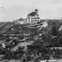
Even before the war, the Wallberg was a popular destination for excursions. As a vantage point, it offered a view over the Pforzheim city centre, the three valleys and the neighbouring communities. After a visit to the Wallberg, people would stop off at the Café-Restaurant Grimm or the Höhencafé Sinzenich, which opened in 1925. From the terraces of these restaurants, the view stretched as far as the Black Forest mountains.
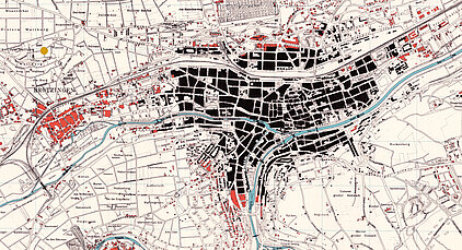
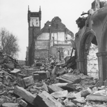
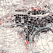
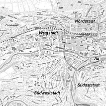
On February 23rd 1945 the Second World War, triggered by National Socialist Germany, hit Pforzheim. In a devastating air raid, the city was almost completely destroyed in less than 20 minutes. More than 18,000 people died. More than two thirds of the city was destroyed. This corresponds to the areas marked in black on the map.
Wallberg After 1945
Places and Buildings After 1945
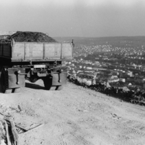
A large part of the rubble from the destroyed town was dumped in the Brötzinger Valley after the end of the war. In 1952, work began on filling in a disused quarry on the north-west side of the Wallberg. By 1965, the Wallberg had been backfilled with around 1.65 million cubic metres of rubble and excavated material from construction pits to a total height of 417.5 metres. This raised the mountain by almost 40 metres.
The top of the Wallberg was designed in 1966/67 on the basis of a report from 1959 by landscape architect Prof. Alwin Seiffert . With its bare summit, the mountain was to be recognisable as a man-made landscape sculpture and a memorial to the destruction of the war. After the final modelling, the hill rises flat from the east and falls stweeply on the west side.
In 1986, the city council announced a public ideas competition for the artistic design of the Wallberg plateau. A total of 123 entries were submitted and four prizes were awarded. However, a controversial public debate prevented the project from being realised.
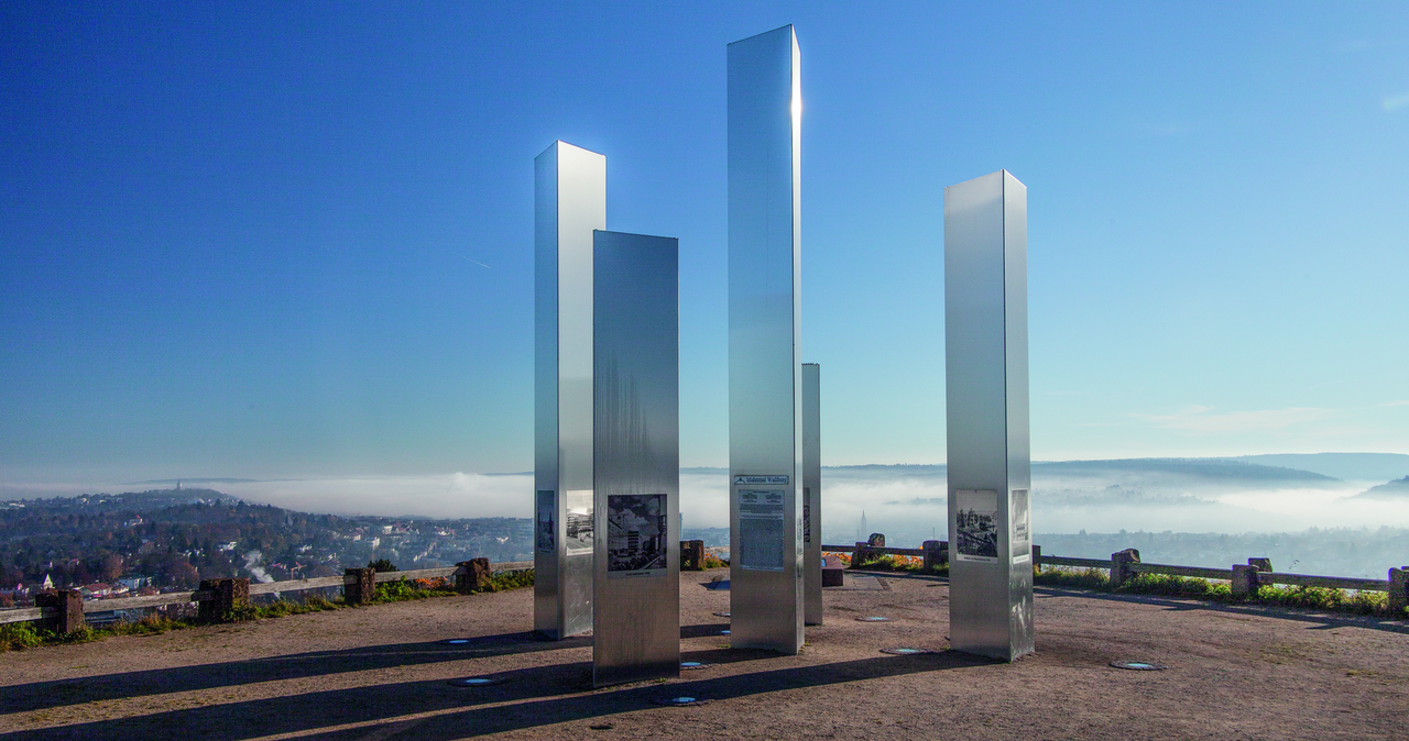
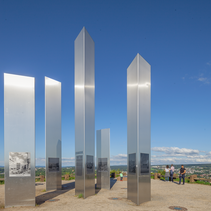
A memorial plaque was erected on the eastern edge of the platform in 1989. Since 2005, five stelae on the plateau, visible from afar, have commemorated the destruction of Pforzheim. The steles were erected on the initiative of the "Pforzheim mitgestalten" association and donated by citizens. They are decorated with pictures showing motifs of the old, destroyed and modern rebuilt Pforzheim.

