Kallhardtbrücke Before 1945
Places and Buildings Before 1945
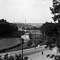
[1] 1935
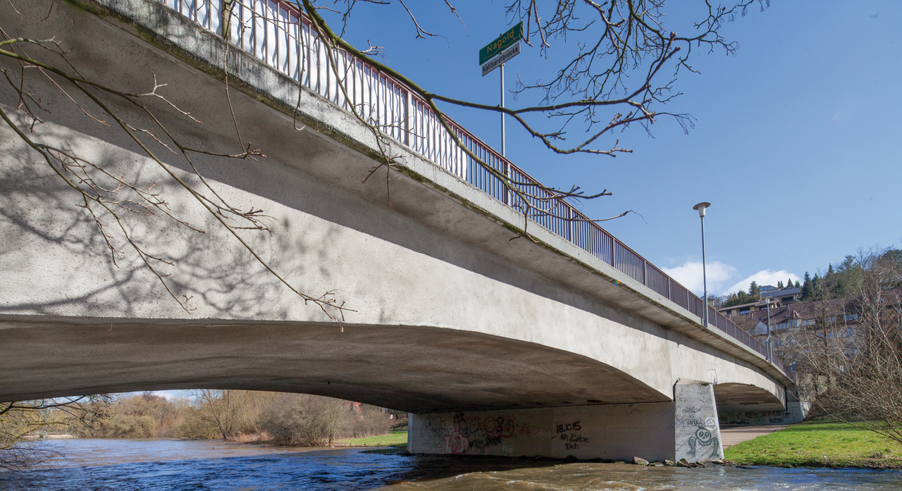
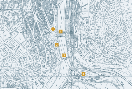
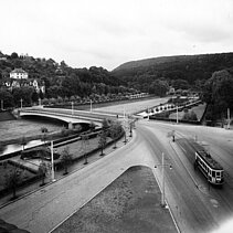
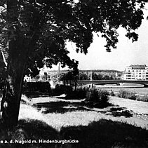
Between "Calwer Straße" and "Bleichstraße" a new river crossing was created in 1928 for the tram- and motor-traffic that was named first after Reich president Paul von Hindenburg. This elegant two-curve reinforced concrete river bridge remained undestroyed through the war as the only river bridge of Pforzheim and was renamed 1945 as "Kallhardtbrücke".
[2] 1931
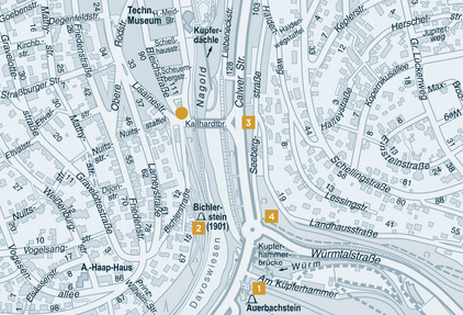
The "Davosweg" leads from the green area at Kallhardtbrücke along Nagold to Dillweißenstein. It was created as walk in 1883 on initiative of the "Verschönerungsverein" ("Beautification Society") of Pforzheim and was called in former times "Verschönerungsweg" (= "Beautification Path"). Several memorial stones lie to the slope and their installation was also arranged by the Verschönerungsverein.
[3] 1929
Once the "Eselsteg" at the Kupferhammer was the only crossing over Nagold upperside of "Auer Brücke". By building "Werderbrücke" (1872) and "Kallhardtbrücke" (1928) the "Eselsteg" lost its importance and wasn’t built up again after war destruction. The name "Eselsteg" reminds of the fact that farmers from neighboring villages brought their products to Pforzheim with donkeys and used this crossing.
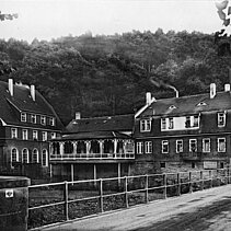
[4] 1913
The popular restaurant "Kupferhammer" lies beneath the "Erzkopf" (442 m) at the confluence of "Würmtal" into "Nagoldtal". It was built in 1886 for the copper smith and restaurant owner Karl Naeher. Site and naming remind of the tradition-rich "Kupferhammer" which was founded in 1663 and belonged with milling, tube smithy, sawmill and charcoal production to the important business untertakings of the town.
Kallhardtbrücke After 1945
Places and Buildings After 1945
[1] 2017
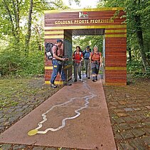
The "Kupferhammer" is starting point of the three famous Black Forest–High Trails which make the mountains accessible from North to South. In the year 1900, the long distance trail from Pforzheim to Basel of 285 km length was signposted by the Black Forest society (= Schwarzwaldverein). This "West Trail" was followed in 1902 by the "Middle Trail" from Pforzheim to Waldshut (234 km) and one year later by the "East Trail" to Schaffhausen (242 km).
[2] 2017
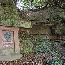
The "Bichlerstein" at Davosweg which was donated by the Pforzheimer Verschönerungsverein in 1901 reminds of the jewel manufacturer Eduard Bichler (1819-1899) from Pforzheim who was member of the town council and the Baden federal state parliament as well as co-founder of the Verschönerungsverein of Pforzheim. The bronze medallion with a relief bust of Bichler was created by Emil Dittler who was a Jugendstil-artist from Pforzheim.
[2] 2017
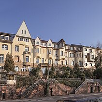
East-side of Kallhardtbrücke a group of so-called "Arcade Houses" raise to the slope (Calwer Straße 135-155) with sandstone walls and stair cases that lie off, built in the years 1906-07 according to plans of the architect Hans Bühling from Pforzheim for the manufacturer Theodor Denzle. The houses of art nouveau relate their name "Arcade Houses" to the originally open arcades in the bottom story.
[4] 2017
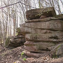
The Seehaus-path leads from Seebergstraße to the Seehaus in Hagenschieß which was a hunting pavilion of the Margrave and was converted into a tavern in 1870. The paved trail, created in 1907 by the Verschönerungsverein of Pforzheim, leads through the diversified forest area and a chaos of rocks out of new red sandstone. Numerous stony signposts show the way.

